Virtual visit to the church of Mǝʾǝsar Gwǝḥila Qǝddus Mikaʾel
by Marco Barbarino, Naples
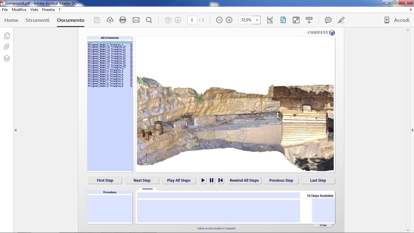
Mǝʾǝsar Gwǝḥila Mikaʾel (14.2844º, 39.315267º) is an ancient site to the west of the town of ʿAddigrat that had not been studied previously. Several structures stand on two edges of a deep gorge. A gate with a circular tower leads to a modern platform with the new church. Abutting its northern wall there is a wall constructed of large squared stones, which protects the long narrow yard of
an old semi-hypogean church (fig. 1). There is a small service room next to the entrance to the yard.
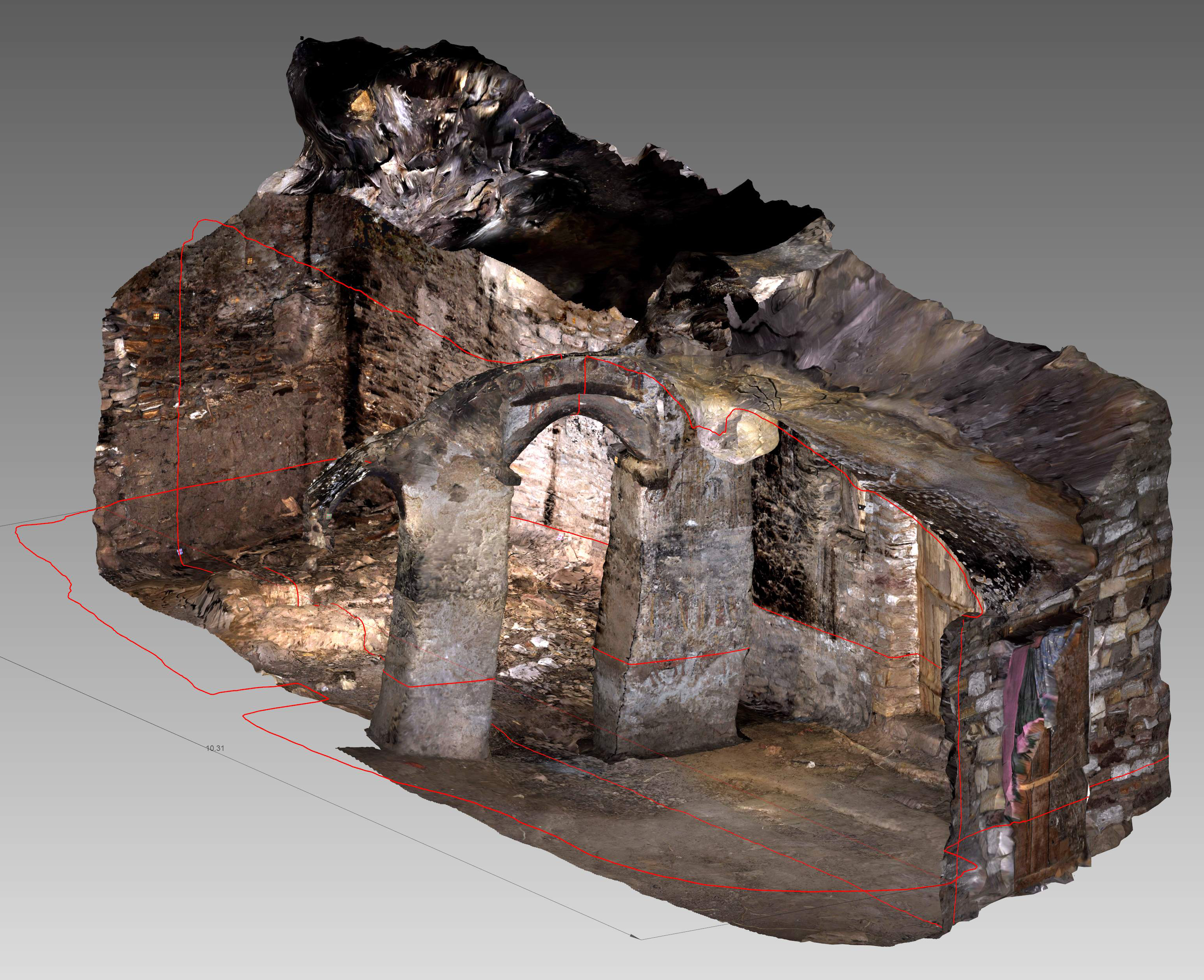
The building of the old church (c.9.5 × 4.6 m) is cut into the rock, which serves as its western wall; its southern, eastern and northern walls are made of stone blocks. The eastern wall has two small windows and a door. The church is divided into two nearly equal rooms by three squared plastered pillars, joint by two partially wooden arches. Remains of decoration are visible: a geometrical pattern and four human figures on the central pillar, and a religious scene with human figures and animals on the easternmost pillar (fig. 2); the ceiling of the first room is adorned with a big carved cross.
Along a narrow path to the northernmost part of the gorge, there are some nearly round structures and some old burials caved in the rock face and closed off by stone walls. Square-shaped structures abutting the rock stand on the other side of the gorge.
In order to ensure a correct spatial combination of the different sequences, forty fiducial markers were placed along the site and inside the old church; Trimble M3 total station was then used to collect the data.
In two days, we acquired almost 2,000 high-resolution images using a Nikon D90 digital single-lens reflex camera, taken from as many positions as possible. Both panoramic and close-up image sequences ensured complete coverage and high level of detail. For the panoramic sequence, images were shot from across the gorge, c.40m away. Inside the building, we had to use flash because of the
lack of natural light. We had to keep sufficient distance from the surfaces, as shadows and reflections could interfere with the processing.
For the processing, we used the Agisoft PhotoScan photogrammetric software. Several ‘chunks’ of data were created, and each sequence processed independently in order to avoid memory overload. First, the images had to be aligned. The software reconstructed their position and orientation from EXIF (Exchangeable Image File) data, detecting tie points and producing a sparse point cloud model (fig. 3). Basing on the estimated positions, the software calculated depth information for each camera and produced dense point clouds (fig. 4) according to the resolution of the images and the quality parameters chosen during the processing phase. The models were then combined and geo-referenced using the ground control points acquired by the total station in the field.
The dense point cloud models were further analysed and ‘cleaned’ to remove errors such as redundant points and blunders. Subsequently, mesh models (fig. 5) were produced, which were then automatically supplied with detailed photorealistic textures (fig. 6).
The surfaces were then simplified in order to produce lighter polygonal models. The decimation, performed with the Geomagic Studio using the ‘maximum tolerance’ parameter within the ‘Decimate tool’, produced a good compromise between keeping surface details and reduction to low-poly models (fig. 7, fig. 8, fig. 9).


